Revisiting the Deam: Cathy Meyer and the Ever-Evolving Wilderness
The Charles C. Deam wasn’t always so densely forested.

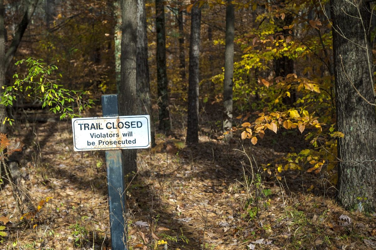
The eighth installment in a photojournalist’s yearlong return to the wilds.
“Revisiting the Deam” is a series of stories chronicling author and photographer Steven Higgs’s exploration of the Hoosier National Forest as he revisits wilderness areas with friends, colleagues, and experts in the environmental field.
Cathy Meyer has been attuned to the Charles C. Deam Wilderness since before its narrow, densely forested ridgetops and deep ravines on the southern shore of Lake Monroe were permanently protected by Congress nearly a half century ago.
The retired Monroe County Naturalist of thirty years was studying biology at Indiana University when the Eastern Wilderness Act of 1975 mandated the Hoosier and every national forest east of the Mississippi River be evaluated for natural areas worthy of federal wilderness designation.
IU student chapters of the Audubon Society and Sierra Club immediately enlisted in the cause. Meyer joined both groups, working to educate the public about the values of a protected Indiana backcountry through hikes on old roads and trails, wilderness appreciation days, and other forms of outreach.
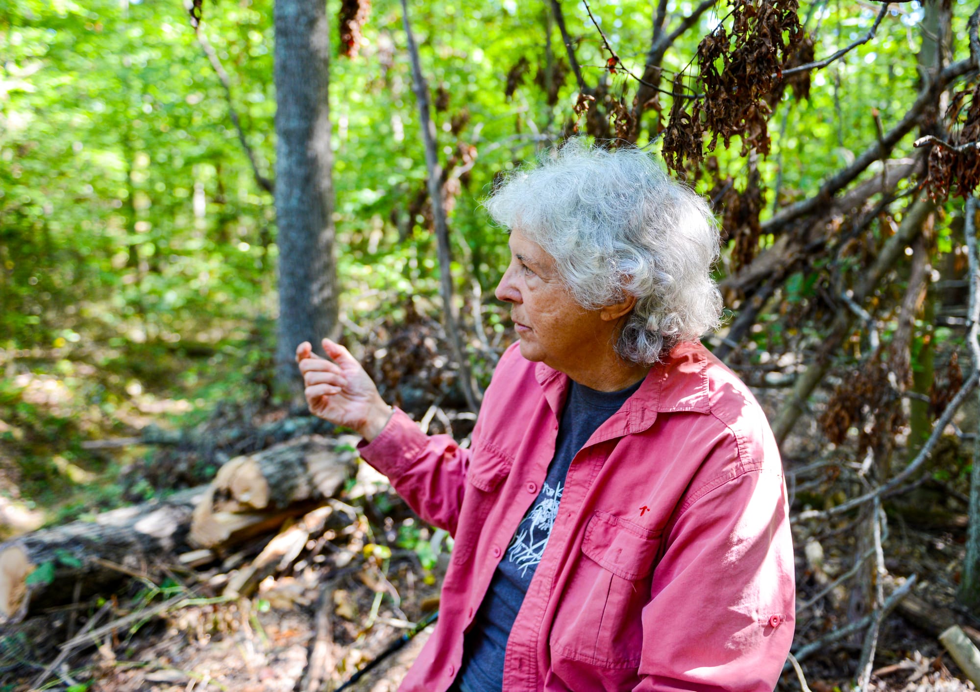
“I was involved in leading hikes and things,” she says a half century later, seated on a downed hardwood tree on the Deam’s Grubb Ridge Trail on a perfect fifth day of autumn afternoon, a cascade of acorns falling around us. “We had lots of meetings and did fliers and posters.”
And since the 12,953-acre Deam Wilderness was established by Congress in 1982, Meyer has witnessed its evolution.
“It has changed a lot,” she says. “The forest has gradually reclaimed a lot of the open areas and the roads and things.”
When the future double-masters holder in ecology and environmental science from IU began her wilderness exploration and advocacy in her youth, evidence of humankind’s century-long, failed attempt at settling the Deam’s topography was still apparent.
The V-shaped hills and hollows were among the last acres in the state of Indiana to be settled. And three quarters of a century after the Todd family became the Deam’s first settlers in 1826, its twenty square miles were home to eighty-one small farms connected by fifty-six miles of backcountry roads.
But by the turn of the twentieth century, the landscape had proven itself unfarmable and unconquerable and, after the settlers had cleared and sold their timber in efforts to stave off bankruptcy, driving away the game they needed to survive, human beings abandoned the hills faster than they had occupied them. By 1925, the Deam was a denuded, eroding, devastated landscape incapable of supporting human or animal life.
By the time Meyer began leading hikes there in the mid 1970s, the Deam had been reforesting and returning to a natural state since before the Hoosier National Forest was established in 1951.
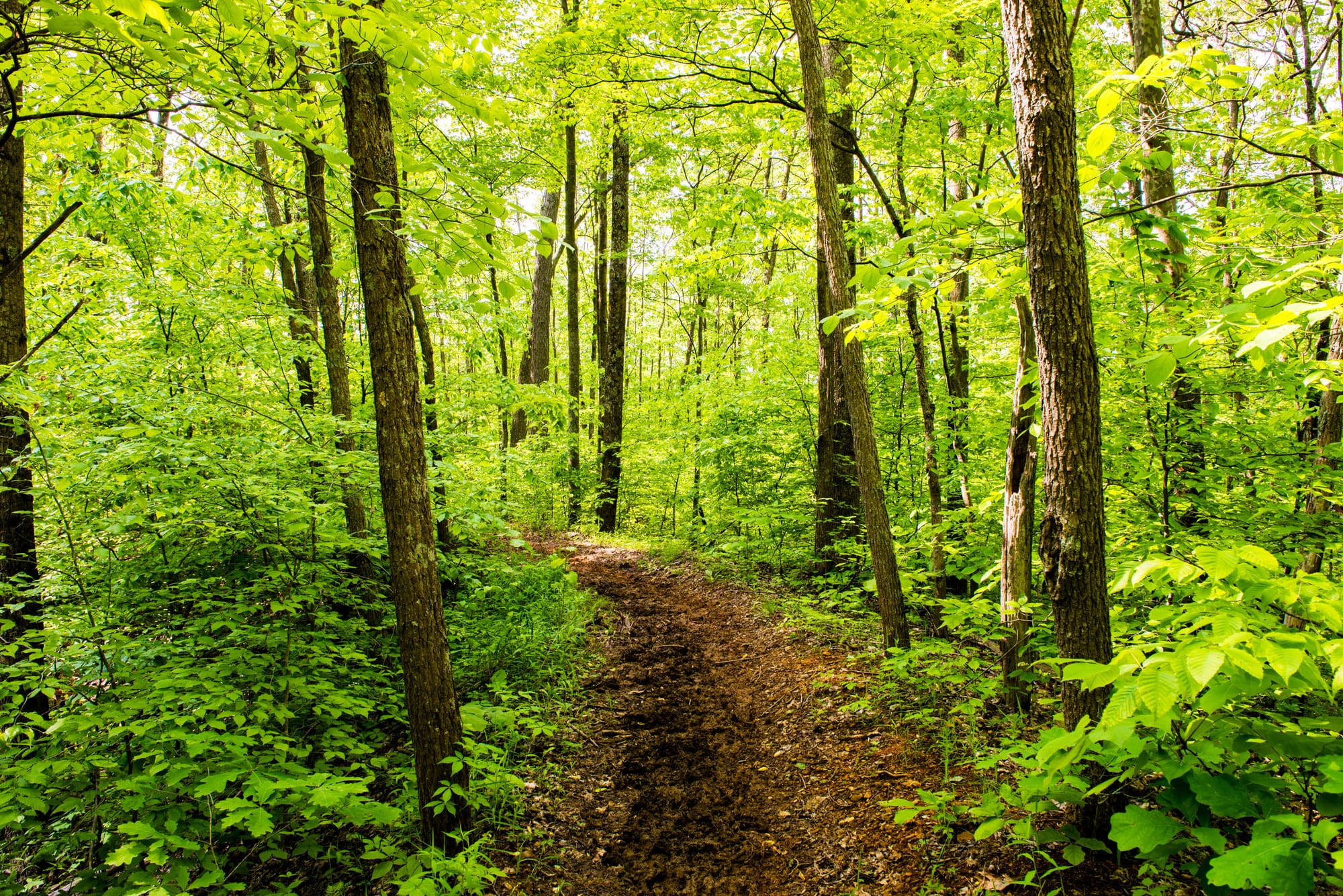
“There were still some little houses off on the side of the road, and roads were pretty apparent,” she says. “There were many more signs of the human habitation that had existed and are not here now.”
The Grubb Ridge Trail is in fact an old road, as are Terrill and other Deam trails. The last time I hiked Grubb was 2016, and it feels tighter today, more enveloping, at times claustrophobic. We strolled only a couple miles of the eight-mile loop, and in different places the trail is narrow and knee-deep, requiring careful use of trekking poles for us more seasoned hikers.
“These old roads we’ve been walking on now are much narrower than they had been,” she says. “Plants have come in from the sides.”
Echoing an omnipresent theme I’ve encountered in my fifty years sharing the stories of folks who have dedicated their lives to environmental protection and justice, Cathy Meyer’s path to the Deam and her naturalist career began as a child in nature, in her case Burns Harbor on Lake Michigan.
Yes, Burns Harbor. She grew up across the highway from Bethlehem Steel, one of the world’s most notorious, historic polluters.
Before the steel plant was built in 1964, she grew up with the Little Calumet River on the backside of three acres that was flat on top, with a hillside that led to a swamp and then the river, the Chesterton High alum says.
“All of us neighborhood kids, we would spend all our free time roaming around in the woods, and the swamp, and the river, and building forts,” she says, “and camping out overnight with just a sleeping bag and a baked potato to stick in a fire.”
Her next-door-neighbor grandparents were gardeners with bird feeders who introduced her to bird names and bought her binoculars when she was in high school as a Christmas gift one year.
“I started making lists of birds, and going on family hikes,” she says. “We’d go for hikes in the dunes, in the winter when you didn’t have to pay to get in, and it wasn’t crowded.”
Her path is also rooted in loss. She has videos of her backyard dunes being leveled, “truckloads and truckloads of sand hauled off to make it flat so they could build the plants there.”
In addition to three decades as the county naturalist, Meyer’s resume includes stints with the Forest Service and various Indiana Department of Natural Resources parks and wildlife agencies.
In retirement, she’s still hanging out in nature, just back from a safari in Tanzania with plans for a birding trip to Brazil — the country, not the Indiana town — next summer.
“That’s who I am,” she says.
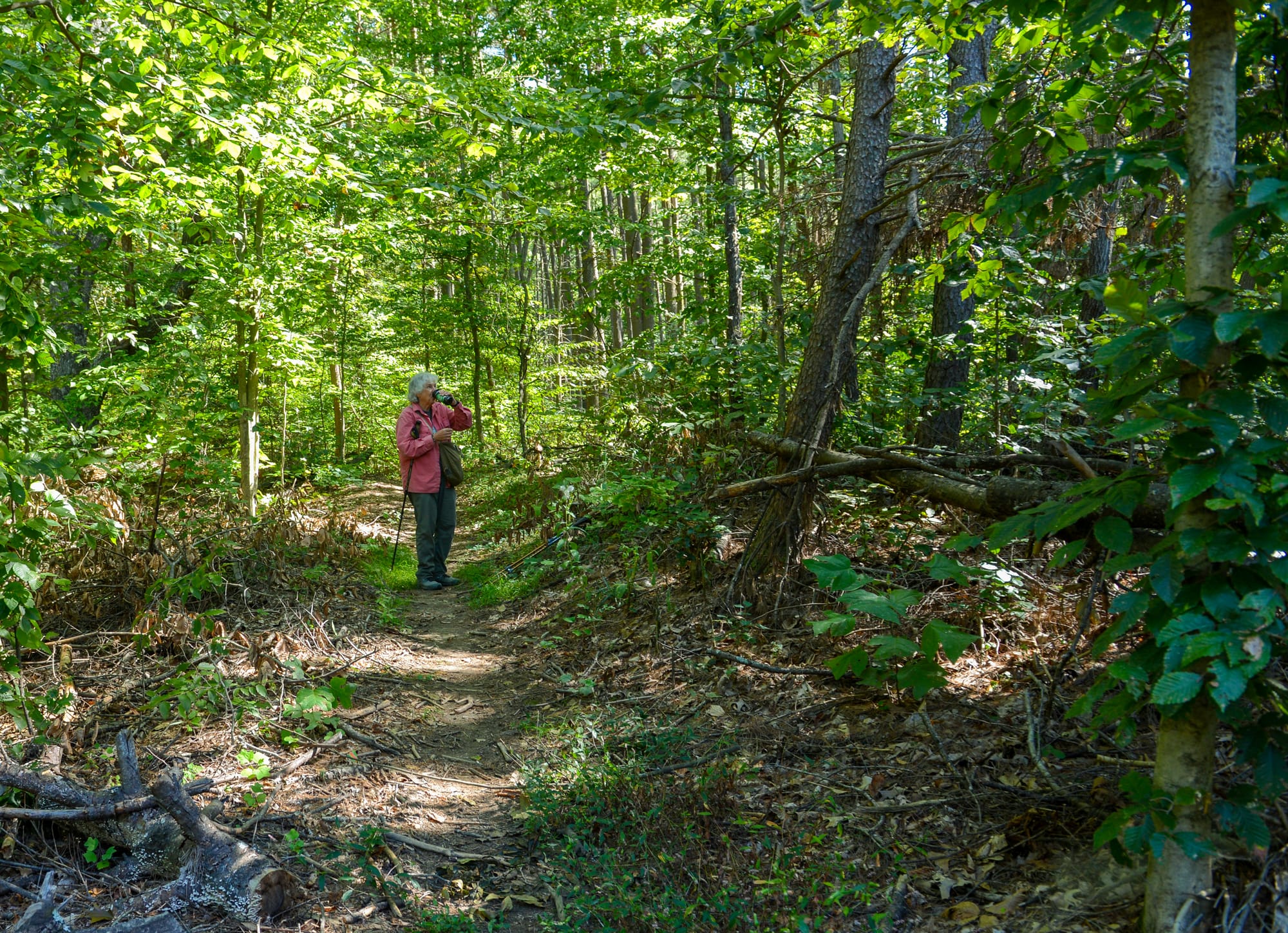
Allowing nature to take its course unimpeded by humankind is the primary goal of the Deam’s wilderness designation, but that does not mean it is unmanaged.
For example, providing outdoor recreation opportunities for the citizenry is a top-tier objective for wilderness managers, and managing public use to maximize natural supremacy has been an evolving priority, from Day One until now.
One of Meyer’s professional incarnations along her path was a cost-share gig between Monroe County and the Forest Service a few years after the Deam’s establishment. Her job was to survey its existing trails and campsites.
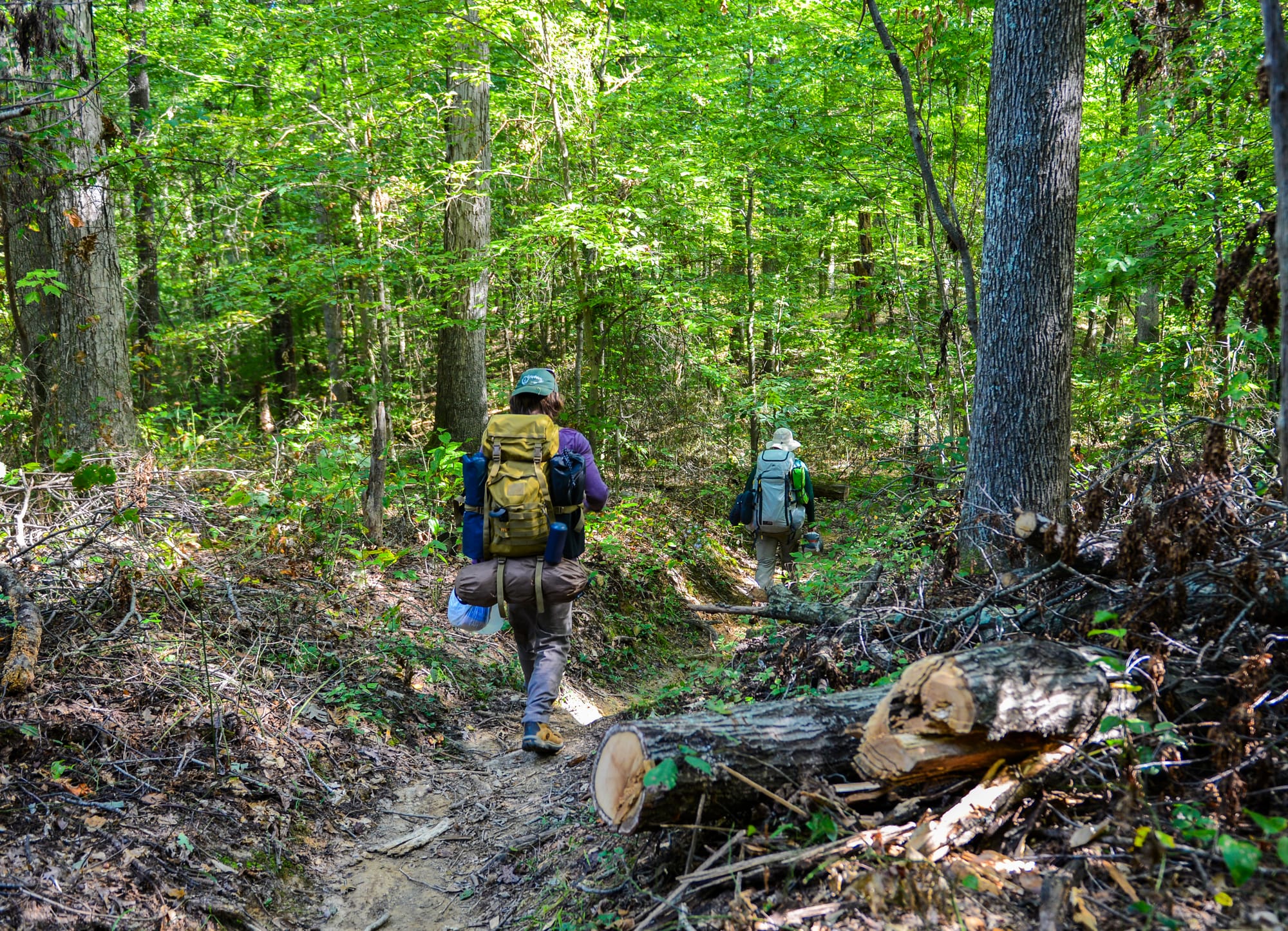
Backpackers have always been allowed to camp anywhere within the Deam’s boundaries, and her charge was to document all the campsites’ locations and conditions. She also chronicled the area’s “huge network” of trails, which “went every which way,” connecting old roads with random bike, horse, and hiking paths.
“There were trails all over the place,” she says.
The Forest Service land managers in Bedford wanted to reduce the trails’ impact on the landscape and allow nature more human-free space to take its course.
“Over the years, the trail network was reduced, and a lot of these informal trails were cut off,” she says. “It’s been pretty much the same trail system for quite a while now.”
Among the arguments for a larger wilderness, in the 1970s and today as wilderness proponents push a plan to double the Deam’s size and add a 30,000-acre National Recreation Area buffer around it: thirteen-thousand acres is just too small to meet the demand for this type of backcountry recreation in the Lower Midwest.
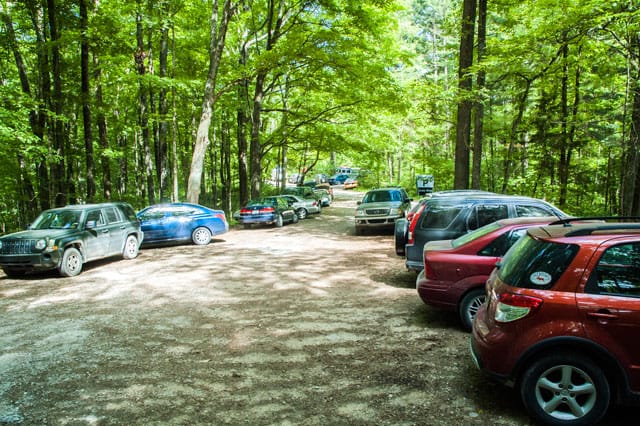
Indeed, as we stopped and started along the trail and chatted on the log, a half dozen groups of two to four hikers passed us, full packs on their backs and declared intentions of weekend outings. The trailhead parking lot on Tower Ridge Road was full when we left.
Like every aspect of life, Deam Wilderness use was impacted by the pandemic, Meyer says.
“COVID really brought people out of the woodwork to go outside and go to places like this,” she says, “to be able to get some exercise and recreation and not be inside with other people.”
Forest Service policy already limited group hikes in the Deam to no more than ten, and the agency had to implement broader traffic control during COVID. They stationed staff along the roads telling visitors they’d have to come back another time.
“There were a lot of people frustrated they couldn’t even get in,” she says.
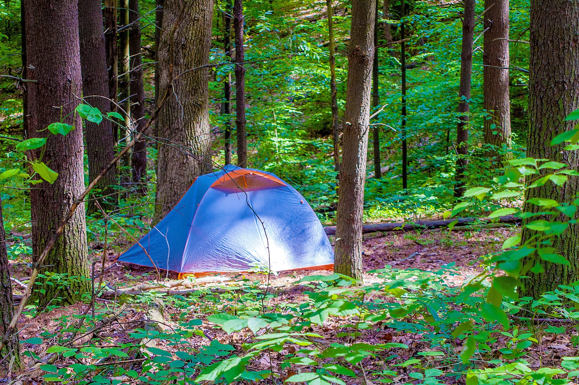
Along a couple miles of the Grubb Ridge Trail we passed three, maybe four campsites, only one of which is among the twenty-five officially designated for Deam camping by the Forest Service, apparently another evolving area of wilderness management.
“I’ve been told that they’re going to start trying to require people to use their designated campsites,” Meyer says, “which will mean there’s more competition for those campsites that are available.”
Evolution from a fragmented woodland into an unbroken old-growth forest impacts the entire ecosystem, i.e. wildlife, with inevitable winners and losers.
“There are some birds, the neotropical migrants, some of the warblers, that like pretty large areas of more undisturbed forest,” Meyer says.
But pre-Deam, the area had a lot of small hay fields and lawns and pastures and such, which favored species like deer that prefer the edges that forest openings offer. Today, those humanmade clearings have regenerated with successional shrubs, plants, and trees, and the edges have vanished.
“Now, there’s probably less game here than there is in the more managed areas that have open places, because deer are browsers,” Meyer says. “And once you get lots of tall trees, there’s not a lot for them to eat other than, you know, acorns.”
What never changes with wilderness are the intangible benefits humans receive from just being in nature.
In addition to the Deam and the entire southern Indiana wildlands, Meyer regularly travels to the Boundary Waters Canoe Area, another federally designated wilderness area, to spend a week on the water.
“Thoreau said, in wildness is the preservation of the world,” she says. “It does have a psychological benefit, for sure.”
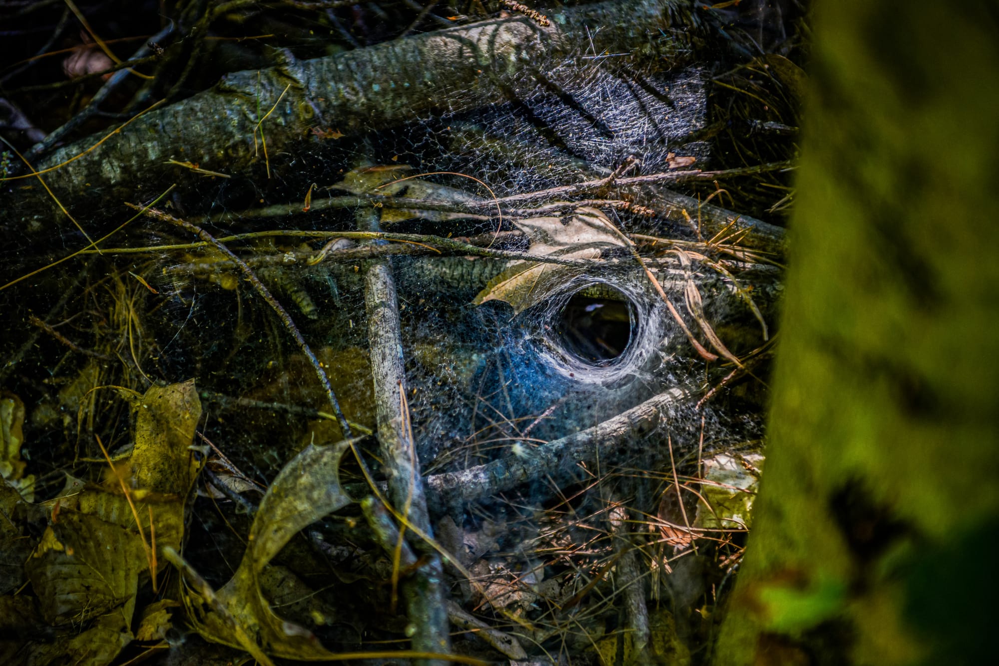
There’s also the joy that comes from traversing a trail littered with acorns, identifying the sounds of the various warblers and every other winged creature in the treetops and bushes, and noticing a spider’s funnel web that 99.9% of trekkers would never see.
“Life comes down to its basics,” she says. “It means a lot to me to be able to get out in calm, wild places.”
Steven Higgs
Steven Higgs is a Bloomington journalist, photographer, and author. He's written three books for IU Press on environmental heroism and natural areas of Indiana and taught journalism at IU for 27 years. Read more on his website: StevenHiggs.com.