Revisiting the Deam: Driving for Pleasure and Other Recreational Legends in the Wildlands
Steven Higgs embarks on a backcountry drive with friends.


The fifth installment in a photojournalist’s yearlong return to the wilds.
“Revisiting the Deam” is a series of stories chronicling author and photographer Steven Higgs’s exploration of the Hoosier National Forest as he revisits wilderness areas with friends, colleagues, and experts in the environmental field.
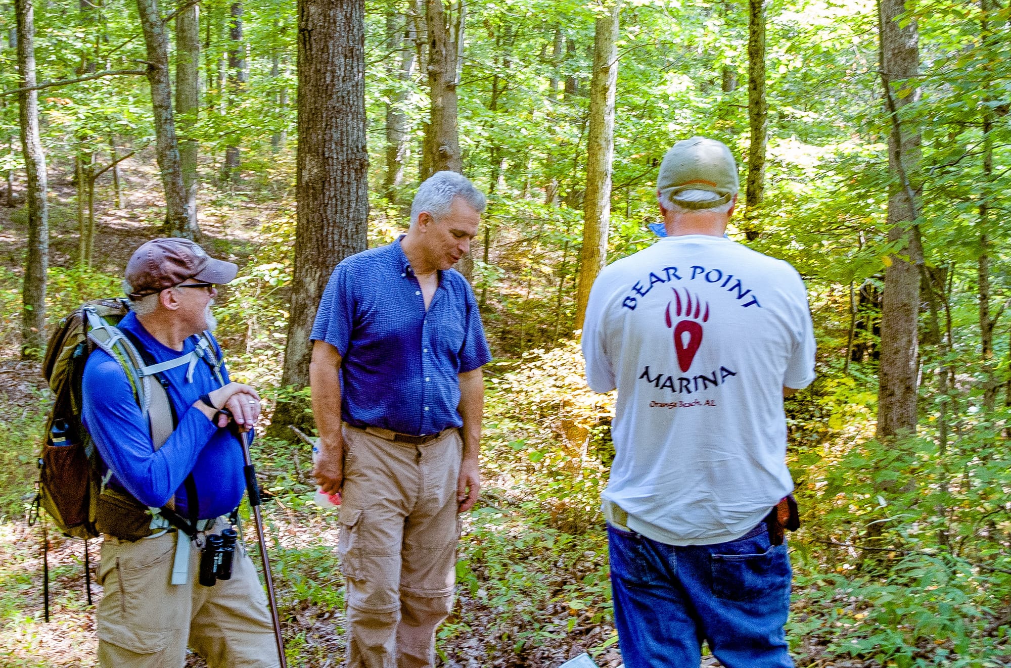
Fallout from the recent Southern Indiana tornado season transformed plans to hike Pate Hollow Trail with friends Tom Diaz and Joanne and Pete Katsaros into a drive through the Deam Wildlands Complex.
They are all trail-ready nature lovers. But Pate’s 6.1 miles moderately traverse an estimated 879-foot rise in the Hoosier National Forest hills and hollows by Lake Monroe — a couple times. It’s a workout under the best of conditions.
So, following days of rain and periodic flood warnings, we left the trail to its natural devices and boarded my black, ridge-running 2005 CR-V for a motor tour around and through the Deam Wildlands, following back roads in Monroe, Jackson, and Brown Counties.
Along the way, stop-and-chats included Brooks Cabin, Deam Wilderness, Hickory Ridge Lookout Tower, Nebo Ridge, Elkinsville, Browning Mountain, and the Story Inn.
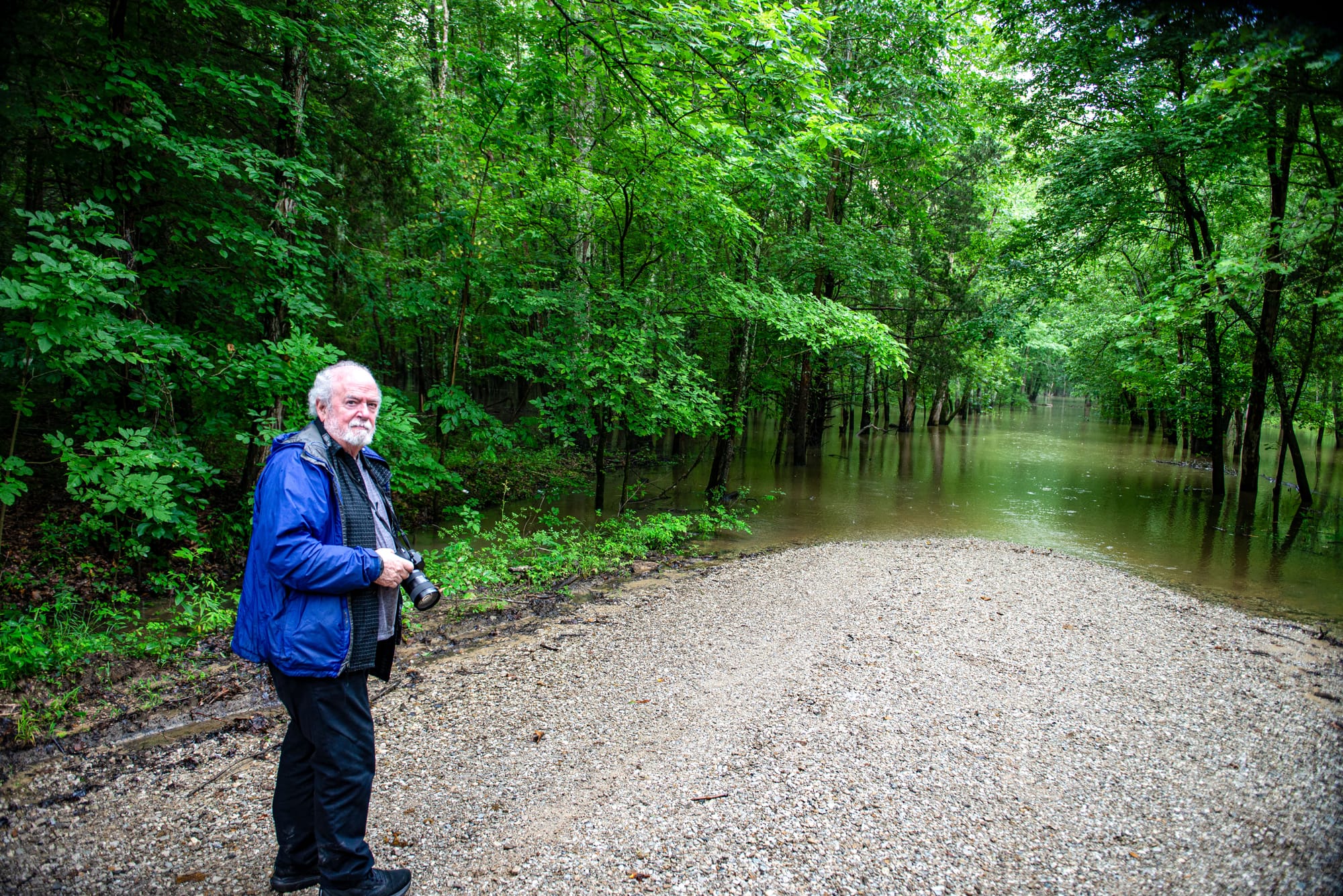
Tom’s photo skills demonstrated just how beautiful the deep woods can be even through a cloudy gray rain.
Tom and Pete, who were college family 47 years ago, and Joanne perfectly represent the type of recreationists who travel to the region for outdoor experiences that are possible nowhere else in the Lower Midwest, north of the Ohio River and from the Mississippi River to the Pennsylvania mountains.
Tom is an accomplished photographer and an experienced, if somewhat lapsed, wilderness backpacker. Pete is a tennis-playing distance runner. Joanne is part of a hiking club whose destinations have included Mont Blanc in the French-Italian Alps, Bhutan in the Eastern Himalayas, and Machu Picchu in the Peruvian Andes.
Embodied in the proposed Benjamin Harrison National Recreation Area and Wilderness Establishment Act, the Deam Wildlands Complex is a 90-square-mile patch of Hoosier National forestland surrounding the Charles C. Deam Wilderness, which is protected in perpetuity by federal law from logging, road building, controlled burning, and chemical spraying.
The bill, introduced by then-U.S. senator and current Indiana governor Mike Braun, would expand the 12,953-acre Deam Wilderness by more than 15,000 acres. In effect, it would surround the wilderness with the Harrison National Recreation Area, which would be managed for Lake Monroe Watershed protection and backwoods recreation.
The Wildlands’ unbroken block of old-growth forest attracts photographers like Tom, hikers like Joanne, and other outdoor recreationists for mountain biking, hunting, camping, horse riding, birdwatching, or just getting away from the madness in an uncompromised backwoods environment.
The Deam is within a 4.5-hour drive of St. Louis, Louisville, Cincinnati, Indianapolis, and Chicago — Joanne and Pete’s home. Illinois and out-of-state plates are common at trailheads throughout the current Deam Wilderness.
The Deam Wildlands are home to four campgrounds and 108 miles of national forest trails on nine separate multi-use paths. Indiana Forest Alliance (IFA) acting director Jeff Stant said the Deam-Harrison expansion would require additional trails in the Bald Knob, Mt. Nebo, Berry Ridge, Hunter Creek, and other backcountry areas.
Co-authored by Earth Economics and IFA, the 2026 report Nature’s Value in Indiana Wilderness estimates 400,000 recreationists annually visit the Hoosier National’s 205,000 acres, which stretch in broken chunks some 90 miles through the Southern Indiana Uplands, from the Deam to the Ohio River. It says economic benefits from the Deam-Harrison expansion would total $235 million per year.
“Maintaining and expanding one of largest expanses of old-growth forest protected on public land in the lower Midwestern United States creates a host of social, environmental, and economic benefits,” the report says.
Beyond the Deam-Harrison expansion’s 57,635 acres, already protected public and private woodlands bordering the national forest lands bring the entire old-growth complex to 200 square miles, all of which offer recreational opportunities.
If the federal expansion bill passes, it would permanently alter the focus on the national forest’s management from logging toward recreation. It also would echo Braun’s shifting emphasis on state forests, including the Deam Wildlands-adjacent Morgan-Monroe and Yellowwood State Forests. The Republican has already moved Northern Indiana’s Frances Slocum and Salamonie River State Forests to the state parks system to protect them from commercial logging..
IFA Board President Dave Seastrom praised the governor’s decision “to protect these forests so they can be enjoyed for their beauty, the recreational opportunities and physical and mental health benefits natural spaces provide, but most importantly — preserved for future generations.”
I don’t know if the phrase driving for pleasure is still part of the backcountry recreation lexicon as it was in days past, but I was determined to show my long-distance traveling guests that it is.
While our up-close explorations were limited to ascending the fire tower and a couple soggy stop-and-chats, every acre we encircled and bisected would be permanently protected under the Deam-Harrison bill, with expanded recreational opportunities throughout.
The day’s SUV excursion evoked a lesson from my days leading Natural Bloomington Ecotours in the mid-twenty-teens: I can’t multitask in the woods. I’m guiding, or I’m shooting. Period.
On this late-June Saturday, I guided. And, fortunately, Tom’s photo work bailed me out and served as another reminder that driving through the woods can be a uniquely pleasurable experience.
Deam Wilderness, Brooks Cabin
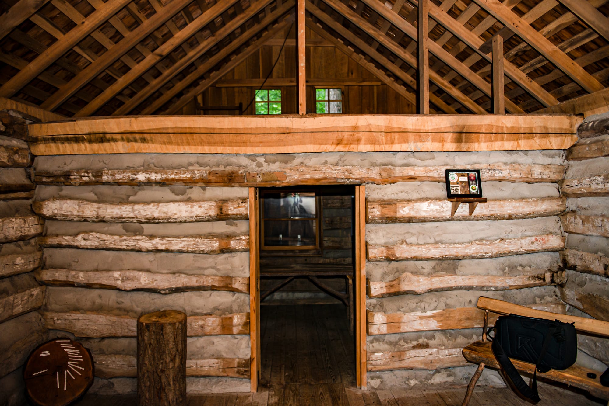
After lunch at the Scenic View Restaurant, we stopped at the Brooks Cabin, an 1890s-era log dwelling that today serves as the Charles C. Deam Wilderness welcome area. The cabin was disassembled on the Little Blue River and then moved to, and reassembled on, the edge of the Deam a century after it was built.
Aside from trail maintenance and other minor exceptions, the Deam’s nearly 13,000 acres of forested ridgetops and V-shaped valleys have been off limits to human interference — left entirely to nature’s ways — since its establishment in 1982.
Hickory Ridge Lookout Tower, Terrill Ridge Trail
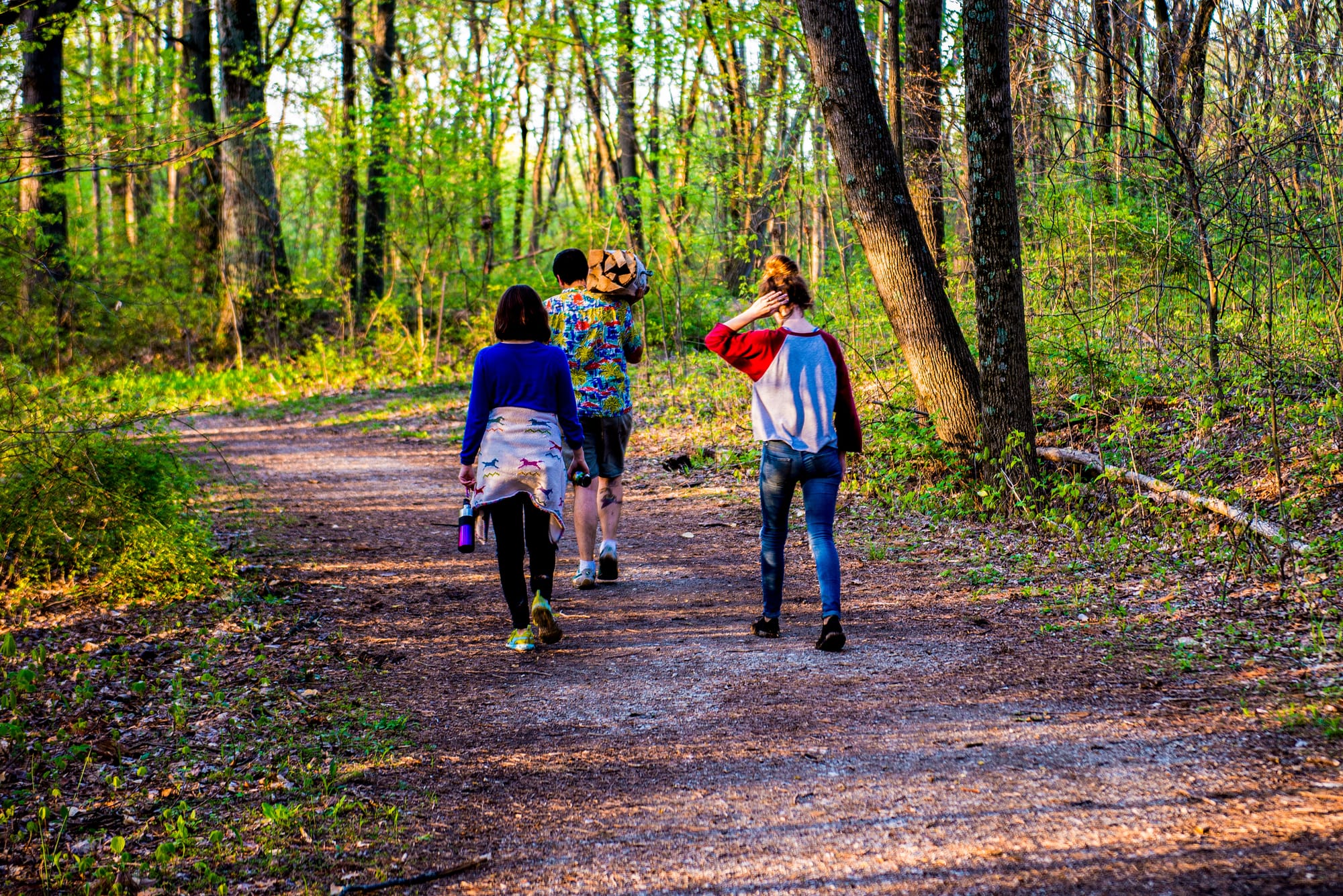
As the afternoon’s highlight, Tom and Joanne cited the climb up and down 133 wet steps to the 1,000-foot-elevation Hickory Ridge Lookout Tower — arguably the most magnificent 360-degree vista in all of Indiana. The tower was an outpost in the early 20th century fight against ever-present wildfires on a landscape recovering from a century of clearcut abuse.
The Terrill Ridge Trail begins at the tower, connects with three trails — Martin Hollow, Axsom Branch, and Sycamore Branch — and follows a ridgetop past wildlife ponds to a pioneer cemetery.
Combs Creek, Browning Mountain
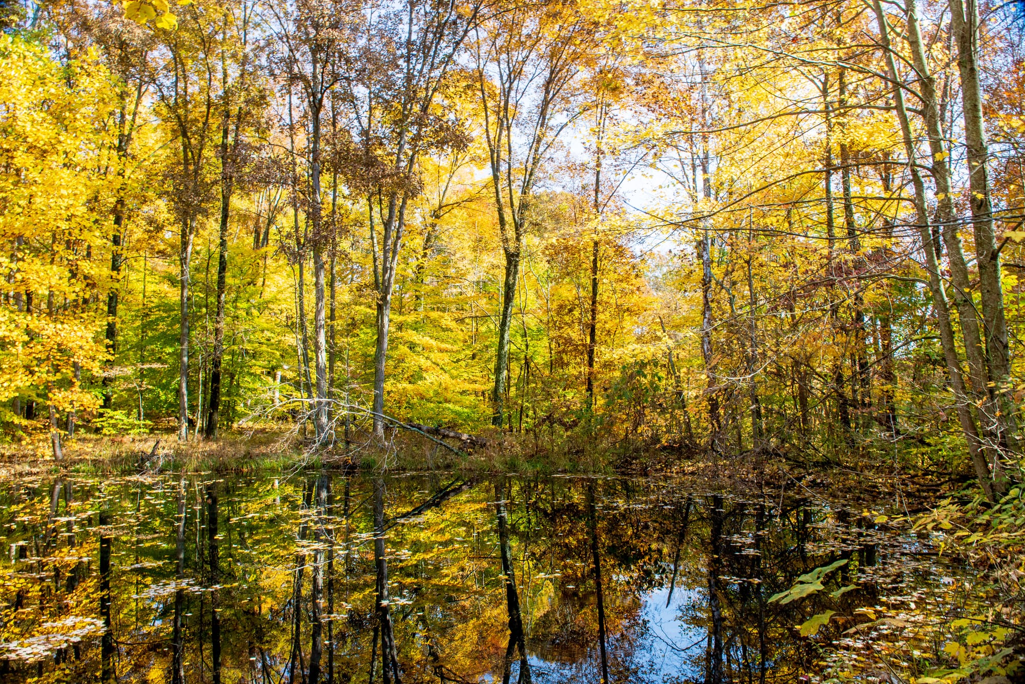
I could only talk about Browning Mountain on a short drive along a swollen Combs Creek to the Deam Wilderness’s immediate east, as I missed the turn to the unmarked trailhead. The hill’s 928-foot elevation is about as high as it gets in the Wildlands and features spectacular views of the Salt Creek Valley to the west.
Browning is referred to as “Indiana’s Stonehenge” for the unexplained presence of massive stone boulders that line the ridgetop. Theories have credited extraterrestrials, Native Americans, and pioneers, but no one knows for sure how they got there.
Brett Kimberlin Lake
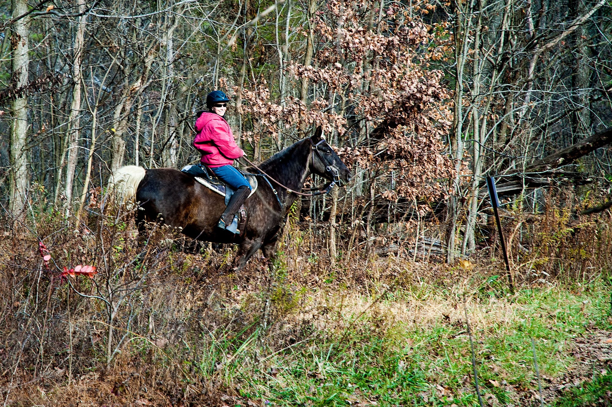
We didn’t stop, but I shared the 1970s-era tale of Broad Ripple businessman, marijuana dealer, and Speedway bomber who built Brett Kimberlin Lake below the Hickory Ridge Trail.
Kimberlin rose to national fame in a 1992 New Yorker election-year article in which he detailed his extralegal past and said he sold marijuana to “Danny Quayle” when the then-vice president was in law school.
Another 1996 New Yorker article about Kimberlin, titled “Unfinished Business,” detailed the lake’s backstory.
“In rural Jackson County he bought a three-hundred-acre piece of property surrounded by national forest, built a five-acre lake, and began constructing a solar house whose design called for hidden access and escape passages.”
Nebo Ridge, Elkinsville, Middle Fork Old Bridge
Our final wilderness stop landed us amid some of Brown County’s wildest and most historic locales below Browning Mountain’s north slope: Nebo Ridge, Elkinsville, and the historic bridge over the Salt Creek Middle Fork.
Preservationists have coveted the rugged Nebo and its 8.3 miles of multiuse trails since before the Deam Wilderness was created 44 years ago. Their first wilderness proposal in 1975 was for a 32,000-acre Nebo Ridge Wilderness Area.
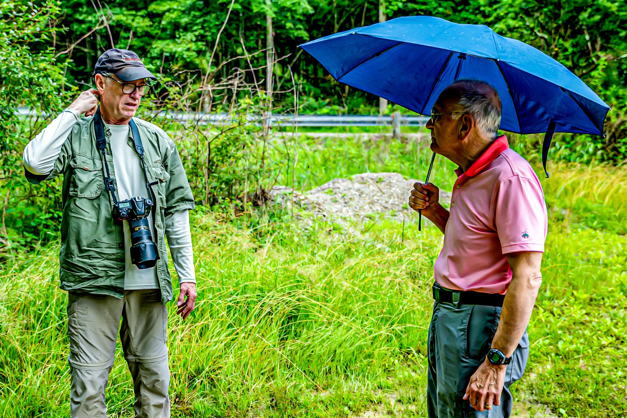
Elkinsville was an 1800s pioneer town evacuated and flooded for Lake Monroe in the early 1960s. A historical marker says the town was “bathed in the shadow of Browning Mountain.”
The precipitation that drove us off Pate Hollow and onto the back roads prevented us from reaching the day’s ultimate destination, what Google Maps calls simply “The Old Bridge” over the Middle Fork.
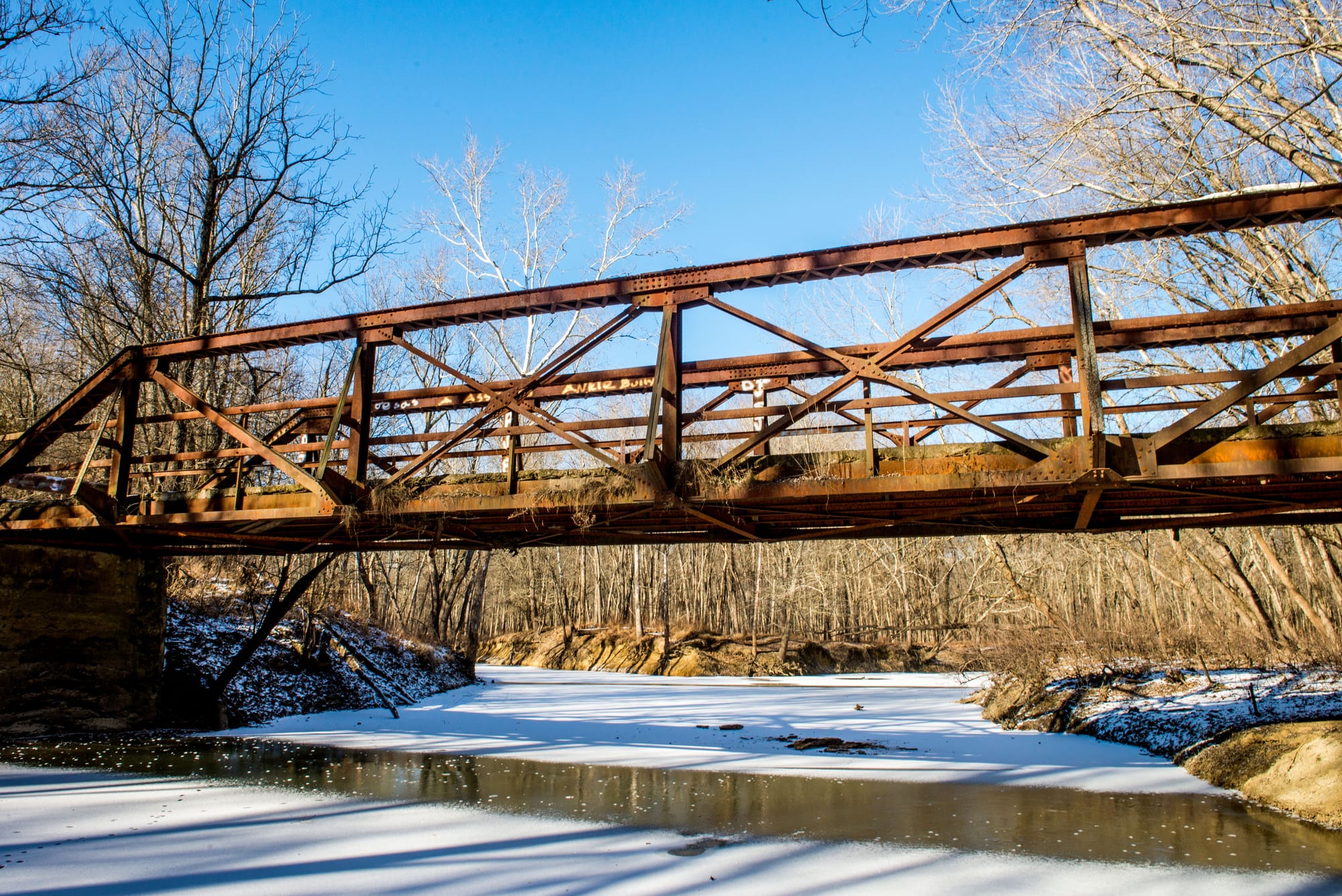
Pre-Lake Monroe, the iron bridge served as crucial transportation infrastructure, connecting Elkinsville and Story with settlers four miles to the west along the Middle Fork at Crooked Creek and beyond.
Lake Monroe is a flood control reservoir. The Middle Fork Valley was underwater when we arrived, the bridge itself out of sight.
Tom took some shots.
Story Inn
Our re-entry into the developed world at Brown County’s Story Inn was limited by a steady downpour, a ticking clock, and fatigue. Pete and Joanne had driven from Chicago and then were driven to Elkinsville.
The Inn now comprises the entire 175-year-old village south of Nashville on Elkinsville Road, which includes a gourmet restaurant in the old General Store, rooms and cottages, an event barn, and a tavern that hosts music, comedy, karaoke, and game nights.

Story was restored in the late 1970s by a pair of local characters, Cynthia Schultz and Benjamin, who were customers when I sold 35mm Nikons at Hazel’s Camera in Bloomington in 1978 and ’79. When I asked his full name, he just said, “Benjamin.”
Current innkeeper Rich Hofstetter said the couple bought the Inn in 1978. And his predecessor’s name, he added, is “Benjamin Benjamin.”
I’m not sure what to believe and will consider his surname just another Deam Wildlands legend, like Brett Kimberlin Lake, the watery ghost town of Elkinsville, the mysterious Browning Mountain boulders — and the unparalleled natural beauty of the Deam Wildlands.
Steven Higgs
Steven Higgs is a Bloomington journalist, photographer, and author. He's written three books for IU Press on environmental heroism and natural areas of Indiana and taught journalism at IU for 27 years. Read more on his website: StevenHiggs.com.